GAP Land Cover Dataset
Data Availability
These data are currently available for online viewing or download. Status is provisional pending QA/QC review by USGS.
Approach
Just as a National Land Cover Dataset would not be possible without affordable satellite coverage, the ability to create a nationally consistent and ecologically meaningful land cover map was limited in the early 1990's by the lack of a consistent national classification system for vegetative communities. Recognizing this need, NatureServe (formerly Association for Biodiversity Information) began working on the National Vegetation Classification System with the support of Gap and other partners (Grossman et al. 1998). Much of the work required to develop the classification has involved the definition and description of the finest levels of the classification system, called the "alliance" and "association" levels. The completion of these descriptions marks the first time the fundamental units of plant communities have been described in a consistent manner for the contiguous United States.
Throughout the development of the National Vegetation Classification, state GAP projects from southeastern states worked toward mapping at the alliance level. The spectral resolution of Landsat TM imagery and the lack of thematic or spatial detail in many of the ancillary data layers available for mapping made alliance level mapping at a state or larger scale impractical. In response, the Southeast Regional group, consisting of state based Gap projects, decided to identify ecological complexes and compositional groups that were being mapped with the available data (Pearlstine et al. 1998). Based on the Gap experience, as well as similar experiences in a variety of programs, the task of modifying the classification hierarchy to describe broader categories was taken on by NatureServe. Similar in concept of Ecological complexes defined by Pearlstine et al. (1998), Ecological Systems are being described for the contiguous U.S (NatureServe 2003) and have been defined as follows:
The systems classification provides a classification framework that matches both the need for an ecologically based system and one that can be reasonably applied at a national scale. We are proposing the use of Ecological Systems with a "phase" modifier. The phase modifier will allow the refinement of the ecological systems based on phenological or structural variation where it can be accurately mapped and is considered important to habitat modeling. Often times, the spectral variation within an Ecological System will have been mapped previously using the NLCD protocol. For example, the predominant upland forested system of the Piedmont; the "Piedmont Oak-Hickory Forest" would include variation from purely hardwood to a pine-hardwood mix. In this case we would model the Oak-Hickory Piedmont Forests and label the phases based on the NLCD classification.
Descriptions of Ecological Systems: PDF
Status Map
updated: May 21, 2008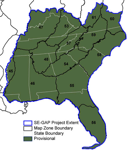 |
These data are currently available for online viewing or download. Status is provisional pending QA/QC review by USGS.
|